Grayson Highlands VA
10/6 - 10/8/17 (2 nights)
2017 bag nights: 28
Miles hiked: ~25
I parked at the Grindstone Campground and hiked a couple miles to the Appalachian Trail and then headed north on the AT towards Mt Rogers. Based on some readings and helpful people on hammockforums.net, I was pretty sure I could find a campsite along the AT below Mt Rogers. The only real question would be the number of people in the area and would I be able to be near a good view. After a couple hours hiking, I came across the perfect spot overlooking Brier Ridge about a mile from the Thomas Knob shelter on the AT. I headed in that direction to get water for the night, but found a solid trickle about 10 minutes down the trail. I filled up for the night and morning and headed back to set up camp and catch the sunset.
I walked onto Brier Ridge and there was a small herd of ponies. I took a couple photos and enjoyed the view and then headed back to cook dinner and wait for the sunset and hopefully stars.
My campsite was close enough to the open ridge that I carried stove, food, water and bourbon and camera/tripod back to the ridge. I cooked dinner and enjoyed the amazing sunset.
And then a little bourbon while I waited for the stars to come out and hoped that the clouds would not be too bad.
Looking almost due south at Sagittarius and Scorpius and some sky glow from the sun.
As the full moon rose behind the trees it was obvious that the clouds were going to catch a lot of the moon light and it was not going to be a good night for astrophotography. So, off to the hammock to read for a bit.
I woke up to clouds all around, no view at all.
I had a leasurily breakfast and a second cup of coffee hoping it would burn off as the sun rose, but by 9 o'clock it was still foggy/cloudy and time to get moving.
I took the AT north towards Thomas Knob and then along Wilburn Ridge. Supposedly there are great views along the ridge, but the top of the ridge was covered in clouds. The ridge was also covered in dayhikers coming from Massie Gap in the state park. I found this part of the day to be really frustrating, there were no views and no solitude.
As I got closer to the border of the state park the clouds began to break a little and I was still on an open ridge so there were views. The leaves were starting to turn and at times were very striking.
I had lunch on a rock outcrop just off the AT ...
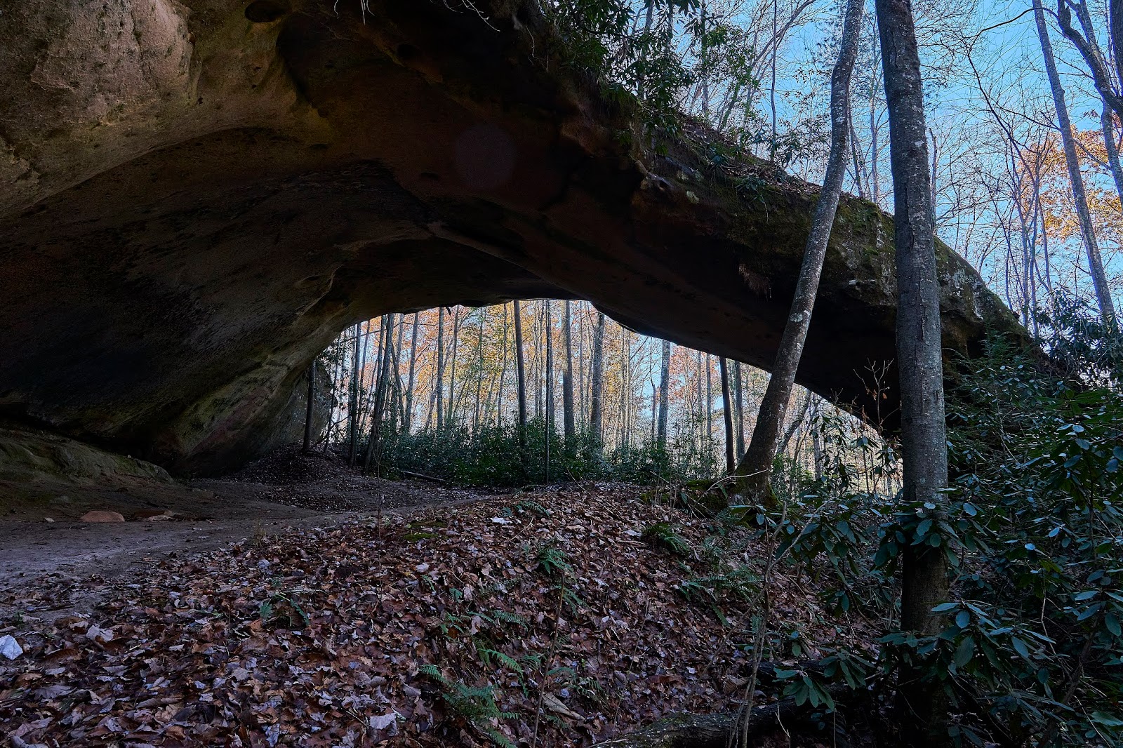
...and then continued into the forest towards the Wise shelter. It was very nice hiking with no one around, but nothing special. I filtered water near the shelter and looked at the map a little more. I was heading towards the Scales area and could take the direct route on the Scales Trail or continue on the AT. Since I was going slower than I had expected, I decided to take the Scales Trail. It was nice, but from what I later read, I probably would have liked the AT better.
After Scales, I took the Crest Trail back towards Rhododendron Gap. The views were very good in parts.
I took the Crest Trail past Wilburn Ridge until in intersected with the VA Highlands Trail which I followed back to Brier Ridge and camp. When I got to the ridge it looked like I was in for another great sunset. I talked to a couple young women from App State in Boone and then went to get water for the night. When I got back after about 1/2 hour the clouds had settled on top of the ridge and there were no views to be seen.
I cooked dinner and sipped some bourbon while I watched the mist swirl around for a bit. This girl was not afraid at all, I assume there is no hunting in the area.
Woke up in the morning to more fog/clouds, no point in lingering. I had a quick breakfast and then took the VA Highlands Trail towards Deep Gap and the AT. After a couple hours of hiking I was back at my car.
I was hoping for more views and more stars, but overall it was a good trip. Next time I think I will avoid the AT near the state park just to avoid some of the dayhikers.