Saturday, February 11, 2023

Cumberland Gap

Cumberland Gap National Historic Park
Civic Park Trailhead (Ewing Trail)
12/1 - 12/3/21 (2 nights)
2021 Bag Nights: 41


My original intention was to do an out and back from the visitor center along the whole ridge along with an extra night. But when I tried to call about permits and water sources, the phone system/voice mail wasn't working. I got to the visitor center and found out that all of the designated campsites along the ridge had been closed because of bear activity. The only site open was the White Rocks site at the far end of the park. Oh well, change of plans. 

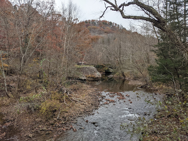
I drove over to the Civic Park Trailhead and headed up the trail. The trailhead is on the right hand side of the map with the gap on the left. 


The trailhead is on the far lower right side of image. 

A couple miles and 1700' up to the ridge. 


I headed over to Sand Cave, very impressive. 

Interesting rocks on the ceiling


Me for perspective, very big

I headed up to White Rocks to check out the sunset, but it was very cloudy and very windy. I did not stay long and headed back to camp and a fire for the evening. 


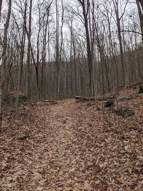
Next morning it was again overcast, no sunrise so I lingered in camp with coffee and then headed to Hensley Settlement. It turned into a beautiful day for hiking along the ridge. 

Hensley Settlement is a preserved "village". According to Wikipedia many people left during WW2, only a couple were left after the war. Wikipedia


I ate lunch and enjoyed the rocking chair on the porch of the ranger cabin (no one was there).


Blacksmith tools through the window


I see you

Back to camp and then up to White Rocks for a better sunset.


I headed back for a sunrise view the next morning


And then back to pack up camp and back towards the car. I headed down the trail with a detour planned. The USGS map shows the location of an old firetower not far from the current trail. I figured it would make for a fun little excursion vs rushing to the car. 

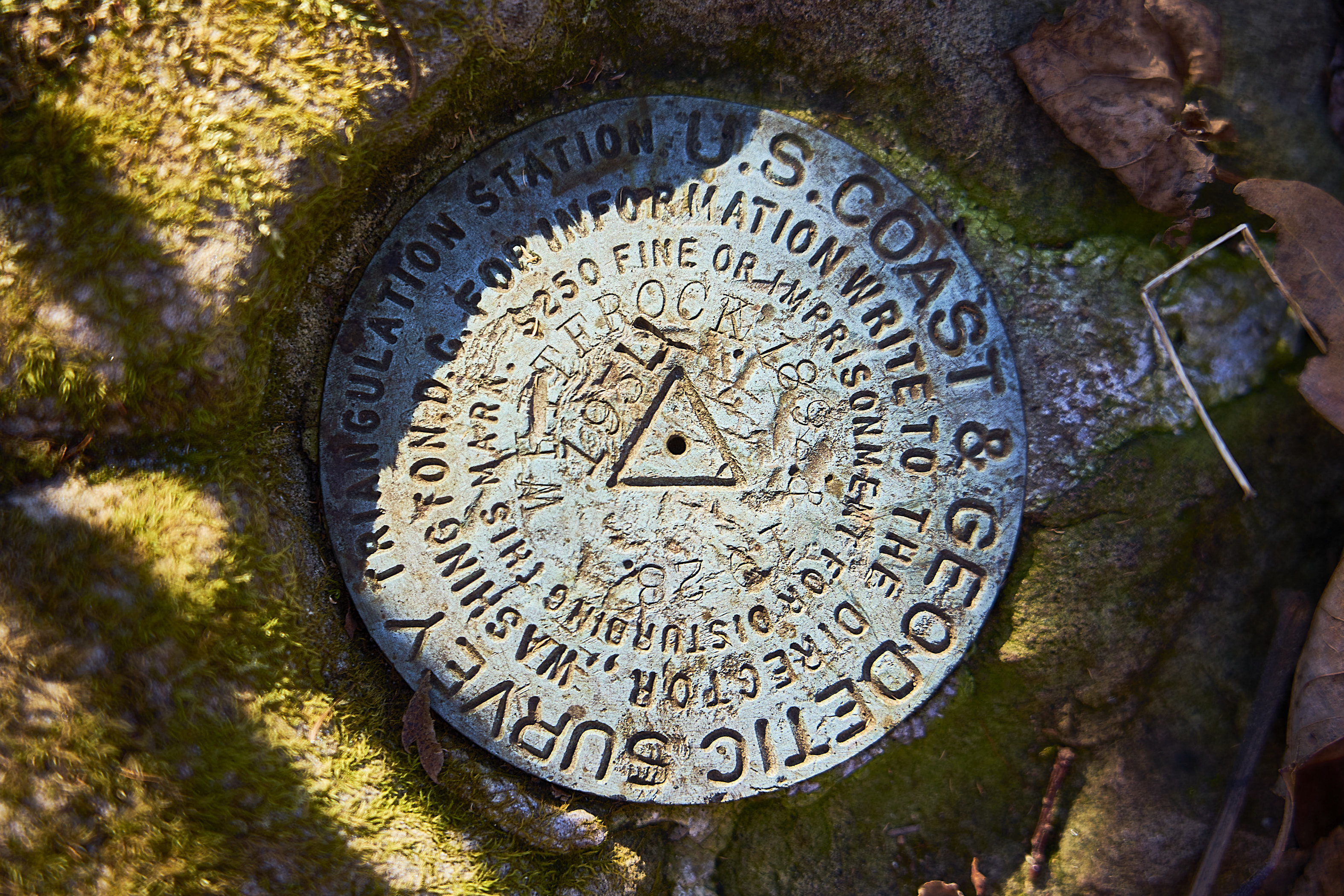
There turned out to be a sort of trail heading in the right direction. I found the old foundations of the tower and the benchmark without much trouble. 

Foundation (concrete and rebar)

Telephone or telegraph pole

More foundation

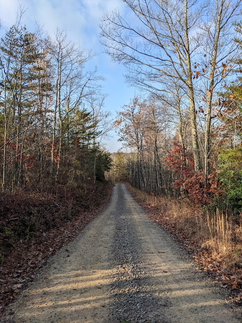
And then down the trail to the car.

Good trip, definitely not what I planned. Not sure I will return since almost all of the ridge has no views and you have to camp at specific sites. 

Sunday, November 13, 2022

Big South Fork Bike Trip

Middle Fork Equestrian Trailhead
Big South Fork
11/15 - 11/17/21 (2 nights)
2021 Bag Nights: 39

CalTopo says about 65 miles and ~5000' of elevation

Will and I had been talking about doing a bikepacking trip and ended up deciding that Big South Fork looked like a good idea.

All cellphone photos since I wasn't sure how to carry my real camera and I didn't think Will would want to wait.


Black House Mountain Road

Over-engineered toilet on the side of the road


Store 14 Cutoff Road

Entering the Daniel Boone on Parkers Mountain Road (I don't know why I took a pic of his butt with the sign)

Parkers Mountain Road

Looking East, I wish the light was better


Another overlook, looking West


Another overlook, looking South


Camp along Rock Creek (just down the road from Great Meadows Campground). 

Almost full moon rising and a nice campfire

Next morning, a beautiful day, but still no sun.

One-lane bridge over Rock Creek


Footbridge over Rock Creek


Tree growing in/through a concrete pipe


We stashed the bikes and hiked the short distance to Koger Arch for lunch


Looking down at Blue Heron


Interesting pair of bugs, I assume they are mating


I liked the informal carving on this tombstone

Roadside arch, not sure of the name


We took a side trail and found a hunter's camp with a huge stack of firewood under a tarp and some benches, great place to spend the night.

Almost full moon

A planet, probably Jupiter

Sunrise through the trees


We took a side trail that was labeled as a wagon road on the map, we figured if a wagon could do it, so could we. Parts were very nice and parts were rocky and steep, no idea how a wagon would manage.


We got to the trailhead and an older couple was unloading their wagon but they said they weren't going down that trail and were going to stick to the gravel roads. 

We loaded up, had a celebratory beer in the parking lot and then headed back home. A great trip.