Yosemite National Park
6/10 - 6/20/22 (10 nights)
2022 bag nights: 13
2022 bag nights: 13
Camera: Sony a7ii and Sony 24-105 lens and some cell phone shots
Additional flower IDs thanks to Grampy and Harlen on HST
One night in the Backpackers Camp in Yosemite Valley
1st trip: Echo Valley, Sunrise Lakes, LYV, South Rim - 5 nights and 56 miles and 13000' elevation
One night in the Backpackers Camp
1st trip: Echo Valley, Sunrise Lakes, LYV, South Rim - 5 nights and 56 miles and 13000' elevation
One night in the Backpackers Camp
2nd trip: North Rim - 2 nights and 28 miles and 7800' elevation
One last night in the Backpackers Camp
One last night in the Backpackers Camp
Lots of miles in the valley between Curry Village, Backpackers Camp, Wilderness Office, Mirror Lake
Day 0: Early flight out of Cincinnati to SFO, drive to YOSE with a couple stops along the way to find fuel for my stove, turns out you can't buy denature alcohol in CA any more. Got to the entrance at Big Oak flat about 15 minutes before it closed, talk to the ranger, get my permit, drive to the Valley and get set up in the Backpackers Camp. Feels like a very long day.
Day 1: I'm on east coast time so I was up early, had breakfast and headed over to the parking lot to dump some stuff in my car. It was a little out of the way, but not really much, and then down the road towards Happy Isles and the Trailhead for the JMT.
First real view of wilderness as I crossed the bridge over the Merced River at the beginning of the trail.

Illiloutette Falls


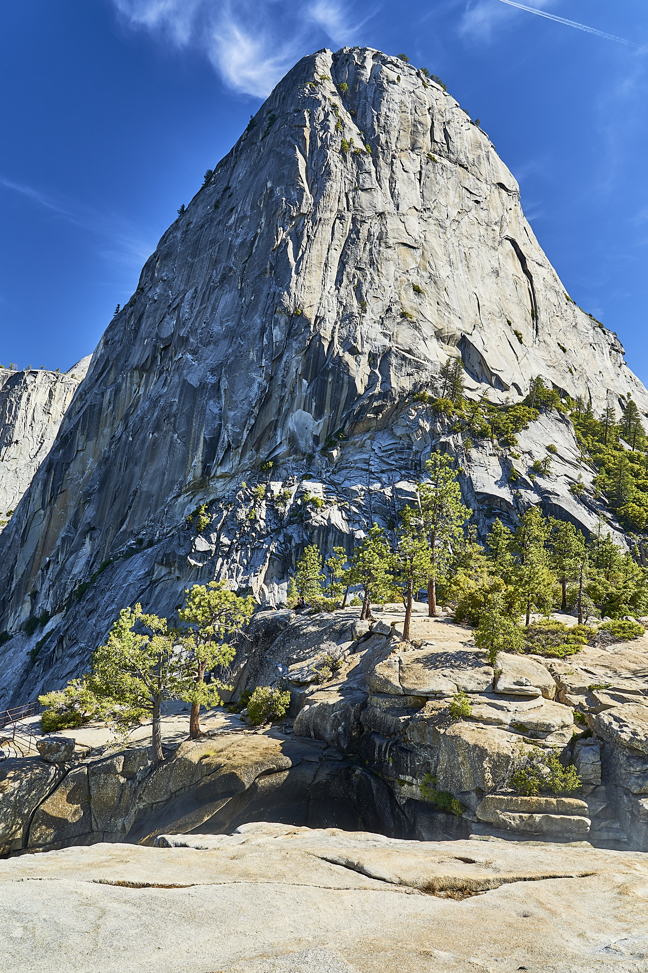

Snow Plant or Sarcodes Sanguinea (interestingly, there is only one species in the Genus Sarcodes, so it is a monotypic genus according to Wikipedia)


Pussypaw? (yes, according to Grampy)

There is a stretch where the trail goes through an old burn area, it wasn't noon yet, but it was getting warm.

Mariposa Lily (white in background) and Mountain Blue Penstemon (Grampy)

No idea??

Western Azalea


I thought about camping near Bunnel Point, but it was early and a little buggy so I continued on to Echo Valley.


Columbine

I had thought about finding a spot near the river in Echo Valley, but right after I crossed the bridge I saw someone walking in the trees and then saw a tent. So, I wandered down the trail. I found a nice spot up on a bench above the trail, got water, and watched the sky for a bit. The mosquitos were out just enough to be annoying so I crawled into bed to read and quickly fell asleep.


Foothill Pretty Face?

I ran into a ranger and we talked for a couple minutes. He asked if I had a permit but didn't ask to see it. I guess that I did not look suspicious as a solo hiker.

At the top of the climb I ran into a miserable looking mom and a youngish kid sitting on the side of the trail. They did not really look like they belonged in the wilderness. They said that the dad had hiked up with one of the packs and had gone back down the hill to get the other pack. They had had a long day yesterday and were hoping for an easy day today on their way to Merced Lake. I hope they enjoyed the rest of their day. I enjoyed the view for a couple minutes and then headed down towards the JMT.

It started to rain a bit as I got into the meadow near the Sunrise Camp, so one quick photo and then I stuffed my camera in my pack.

I found a place to set up for the night near the middle Sunrise Lake. Thankfully it had stopped raining so it was easy to set up but the clouds never broke, so no sunset.


I poked around the lake for a bit enjoying walking without a pack and enjoying the view.

For a brief moment it looked like the clouds would break, but no

Day 3: I woke the next morning to a classic Sierra day


Over Clouds Rest and the amazing views. There were some dayhikers and some backpackers, but it did not feel too crowded. I would have preferred to have it all to myself but I can't complain.


Peek a boo

Only marmot on the whole trip

Half Dome and Yosemite Valley

And then down towards Little Yosemite Valley for the night.

Day 4: Back towards Nevada Falls and the Panorama Trail and Glacier Point


And around to Glacier Point. I was surprised how many people were there since the road was closed. I can't imagine what it looks like with the road open, must be a zoo on a nice day.

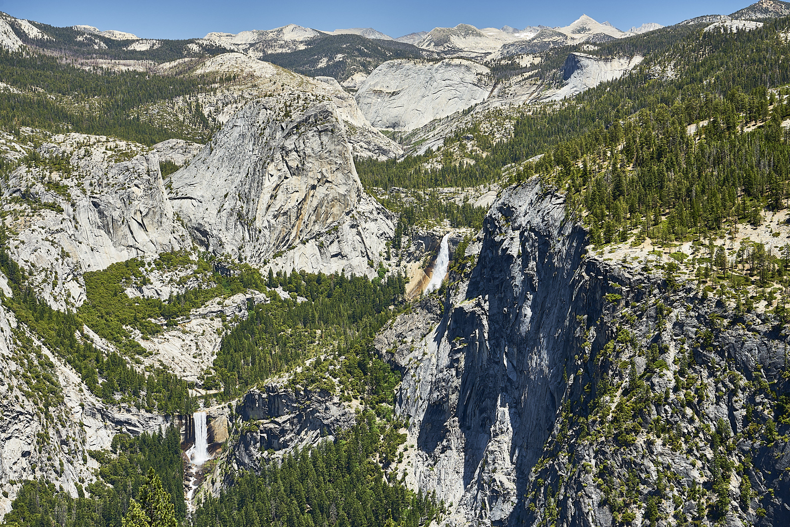
Vernal Falls and Nevada Falls

Half Dome and Nevada Falls

After enjoying the views for a bit, I headed towards the Pohono Trail with a detour to the top of Sentinel Dome and more views ...

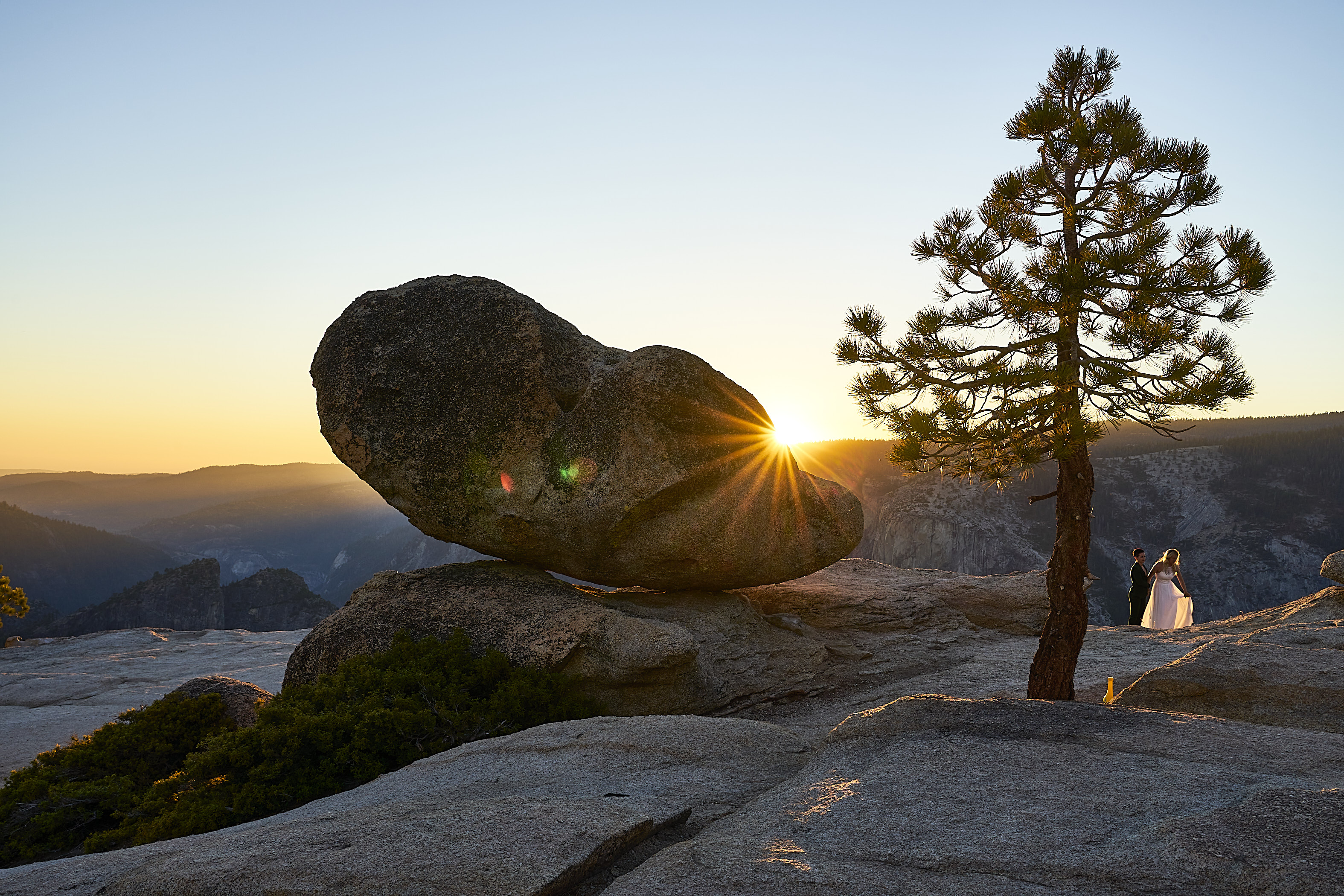
... and then towards Taft Point for the sunset.

I had not seen anyone since I left Sentinel Dome and all of a sudden I was hearing voices. Around the corner came 5 people ready to have a sunset wedding ceremony right where I was planning on shooting the sunset. One of the women seemed really annoyed that I was there which I thought was fitting since I was a little annoyed that she was there :) I stayed out of their way and they did their thing. As they were packing up, I said congratulations to one of the women and said I was jealous of her wedding location. She did not seem grumpy like the other woman. They had a long hike in the dark back to the Valley.

It turned out to be a meh sunset, no clouds, super bright/boring sky. The stars were probably great, but the full moon was coming up and I was too tired to think about staying awake.

Day 5: Moonset in the morning

Breakfast company with Yosemite Falls in the background


I took a side trip to McGurk Meadow since I had planned a short day of hiking.


Looking for bugs

As he got closer, a father and son came from the other direction. We talked a bit while we watched the bear ignore us.


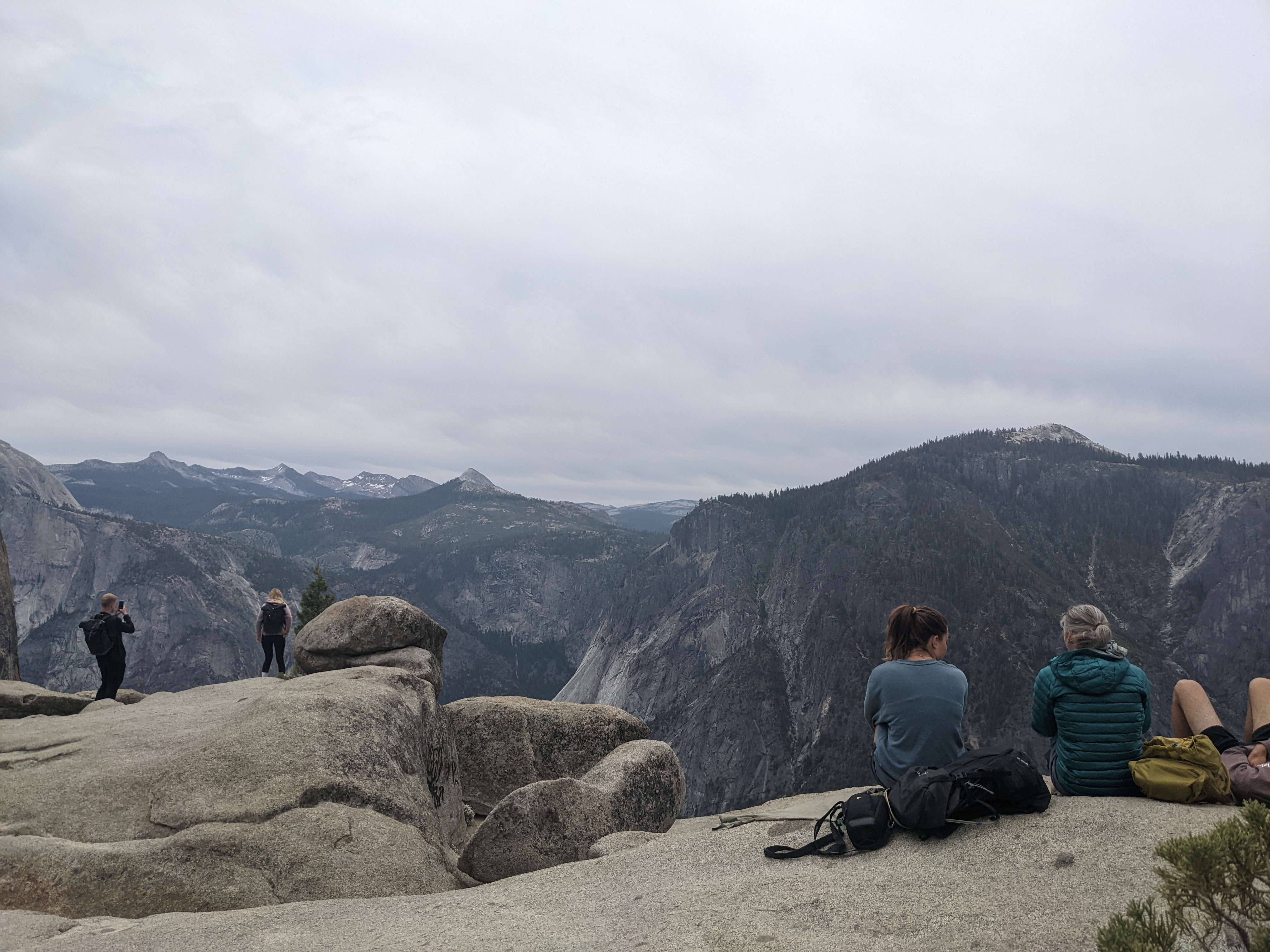
I got to El Cap and set up camp somewhat out of the wind and then wandered around taking in the view.


Sunset is coming, still windy, getting cold

Day 2: towards North Dome


The trail mostly parallels the Merced, sometimes close and sometimes further away.


Home for the night
Day 2: I rolled over as it was getting light in the east and saw a bunch of clouds that were underlit by the sun. Before I could grab my camera and get out of the tent, it was already fading. This is a hint of what it looked like a minute before, imagine all of the clouds glowing bright orange/yellow on the bottom.

An hour later, the clouds were still there, but the sun was up and I was all packed up and ready to move.

Northern Goldenrod? Or probably Sierra Ragwort (Senecio) (Grampy and Harlen)

One last look at Echo Valley as I headed up the trail paralleling Echo Creek and then Cathedral Fork

No idea, but I like the shape of the leaves (Turns out this is Corn Lily or False Helebore)


Camp #2

No idea?, but pretty (turns out it is Purple Mountain Heather)

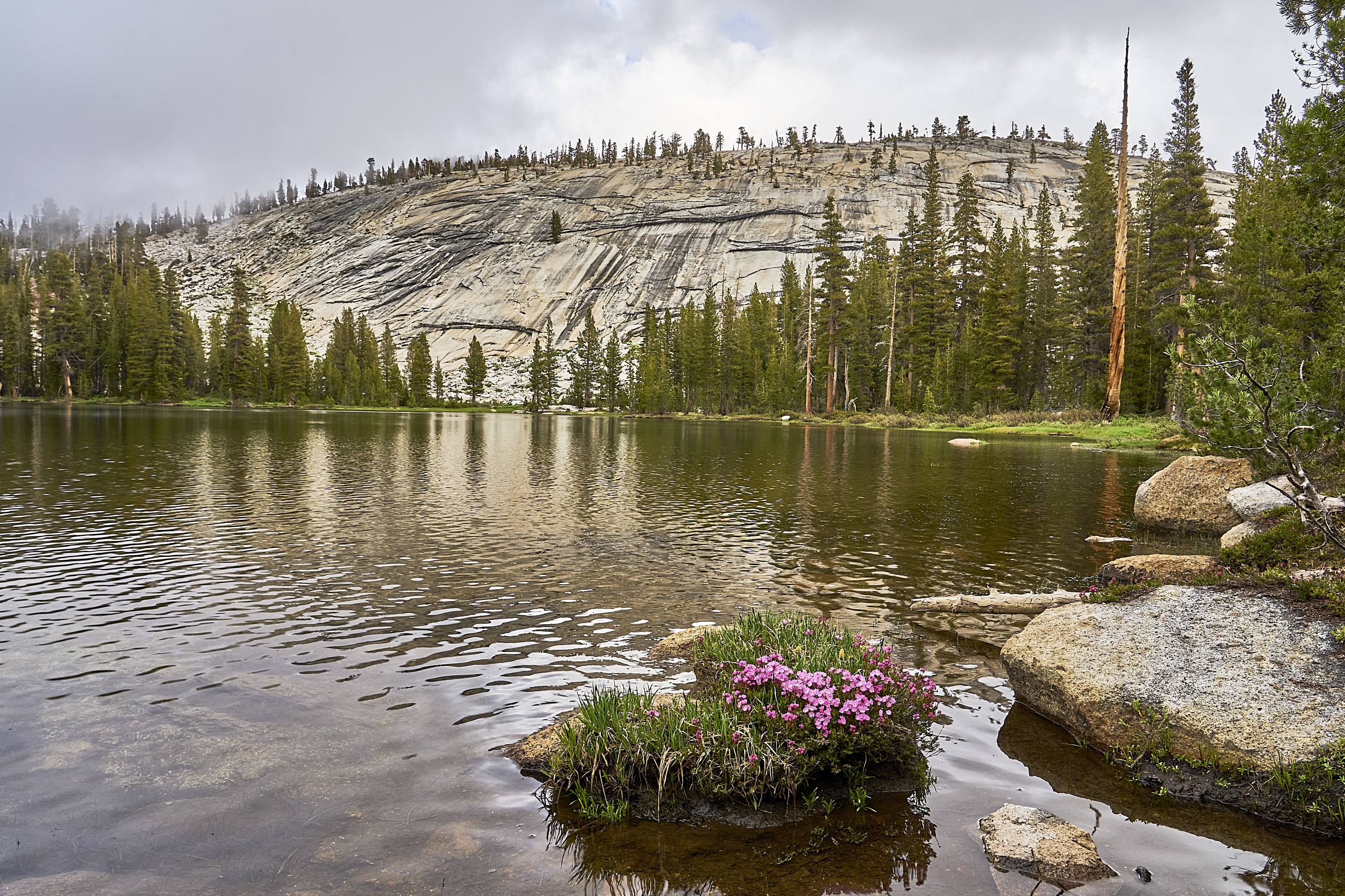


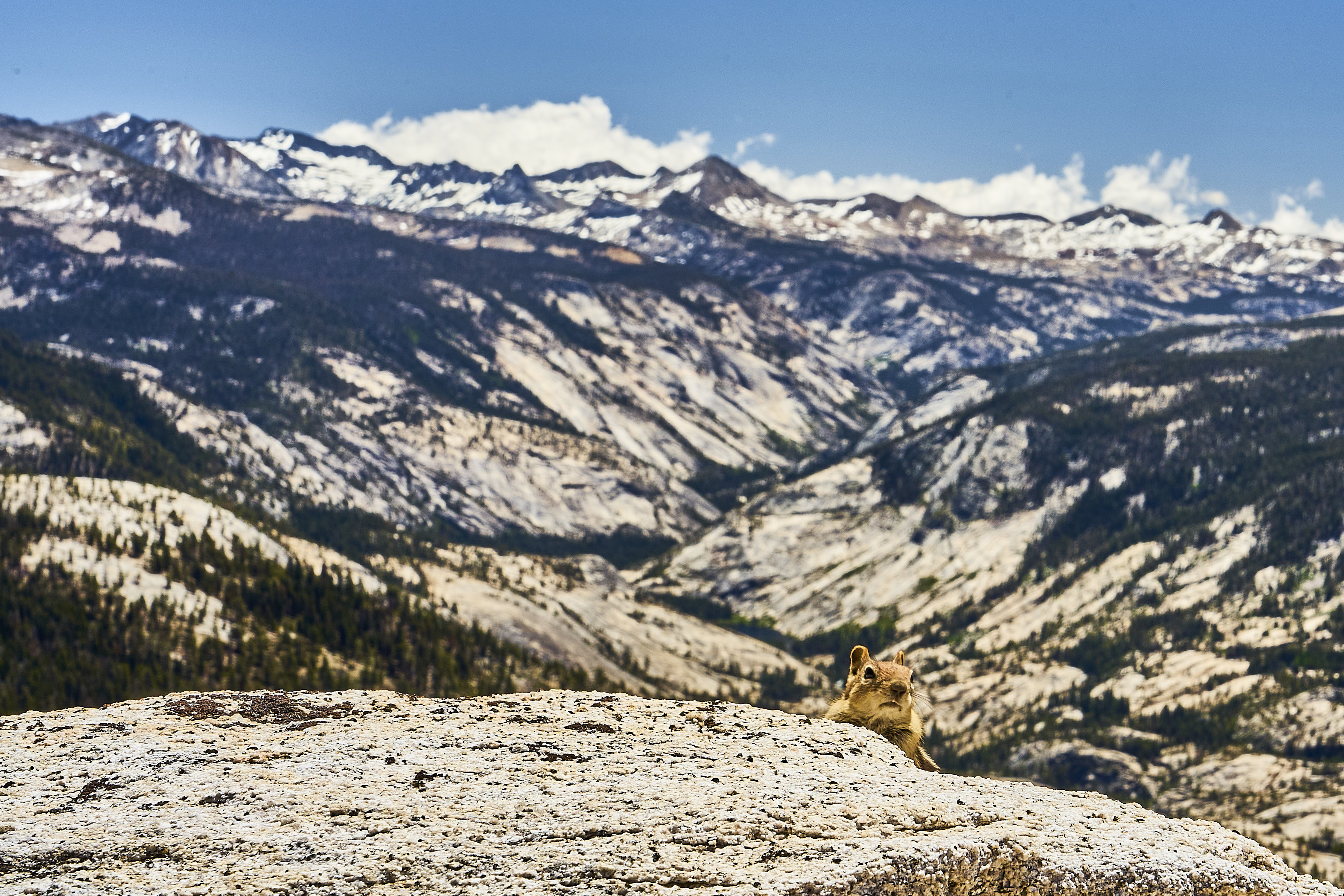


Mule train at the bridge above Nevada Falls

Not long after I got on the Panorama Trail I ran into a solo hiker. As we were chatting I noticed she had on a sort of official looking shirt. I asked if she worked in the park and she said yes. Oh cool, one of the hotels or something?. She paused and said she was the Park Superintendent. She said she had only been at the park for a year or so and was using a couple days off to finally climb Half Dome. I told her where I had found a quiet campsite on the edge of LYV and somehow mentioned that I was heading to Point Reyes after Yosemite. It turned out that her previous job was the Super there. So I told her my plans and asked for suggestions and then we said happy trails and went on our separate ways.
I think this is Illilouette Falls from the Panorama Trail

I had a lunch break near Illilouette Falls. I know it has happened, but I can't imagine seeing someone get swept over the falls.






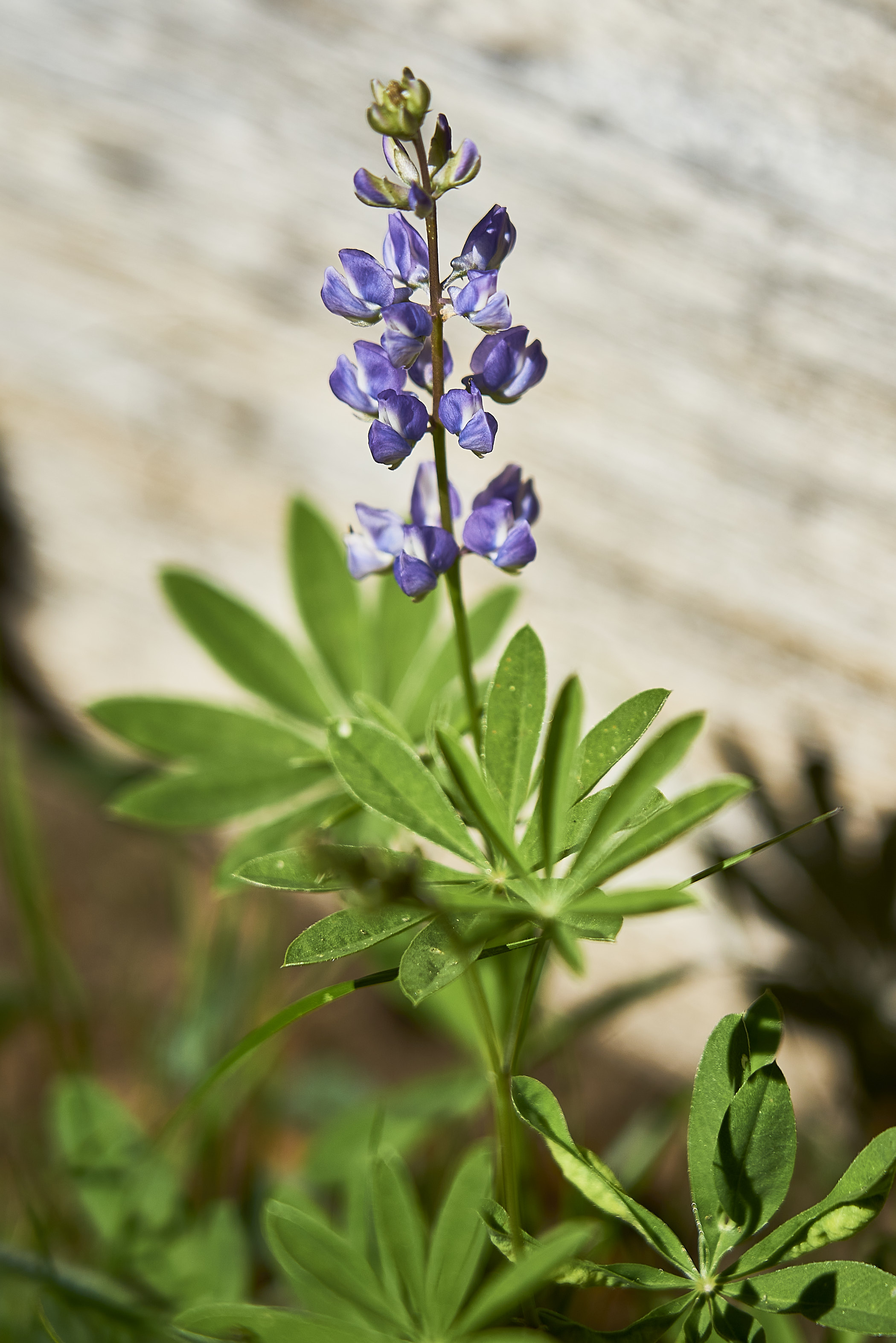
Velvety Stickseed?

Lupine

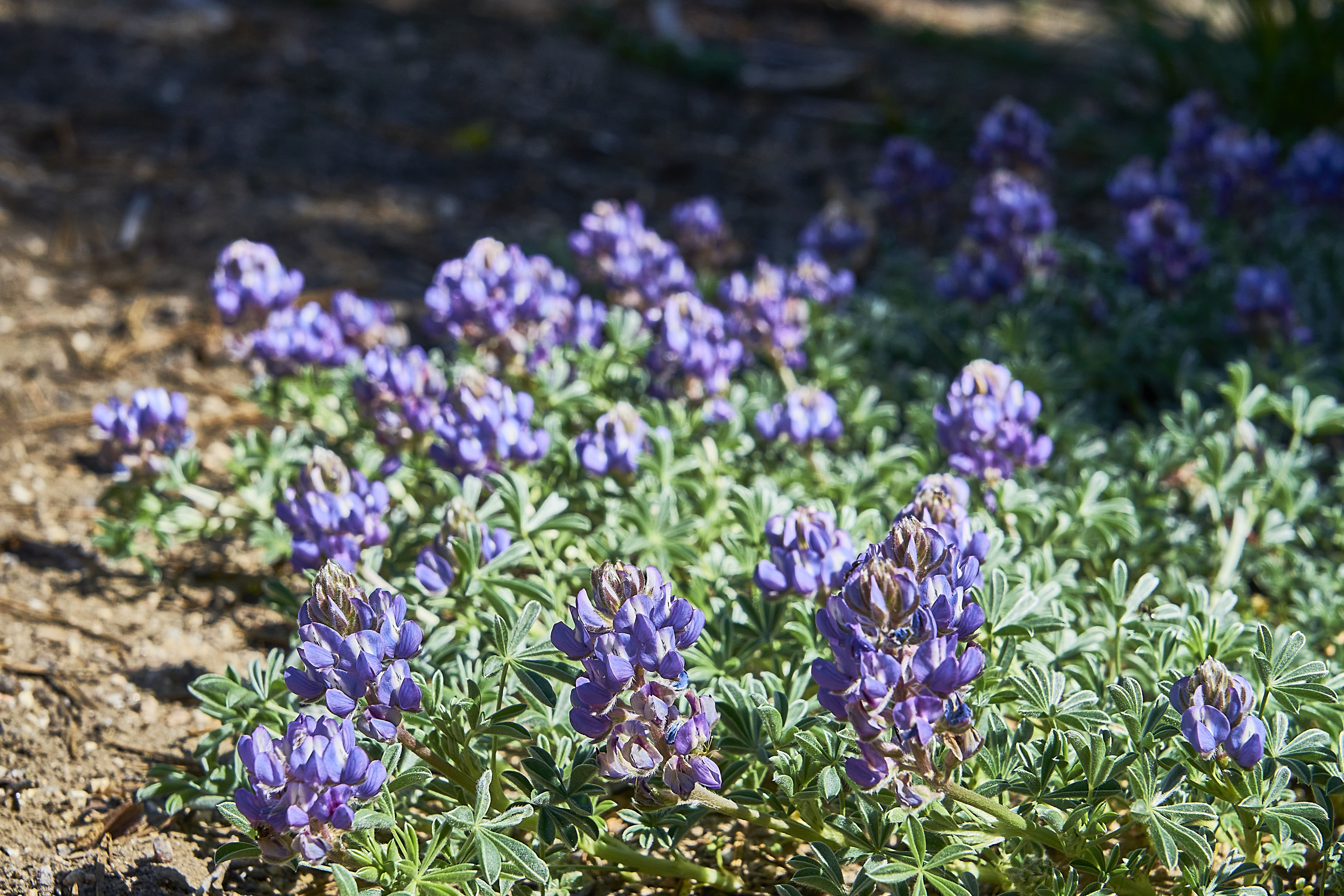
Lots of lupine

Some dayhikers along the trail

I came around the corner just in time to see a bear crossing the meadow. I had time for a couple photos and he was into the trees. My first Sierra bear siting.

McGurk Meadow

Shooting Stars

No idea? Aster?

Old cabin near the meadow

Not a bear, but I like butterflies also


After McGurk Meadows I checked out Dewey and Crocker Points. It was still early when I got to Dewey Point and there was already a tent set up there so I kept moving down the trail.

Bridalveil Falls from Dewey or Crocker Point

I ended up at Stanford Point for the night


Day 6: Back to the Valley with lots of flowers (lupine and paintbrush) to entertain me one the way down

More azalea

Columbine

No idea?

Bridalveil Falls from Artist Point


And then I decided to catch the bus back to Curry Village since it was pretty hot.


And then walked up to Mirror Lake to check things out.
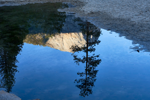


2nd Trip (North Rim)
Day 1: Over to the Yosemite Falls trail. I got an early-ish start to try to avoid the heat.


Thistle


A couple hours later I was at the top of the falls with a million other people. I had lunch and enjoyed the view and then headed towards El Cap.




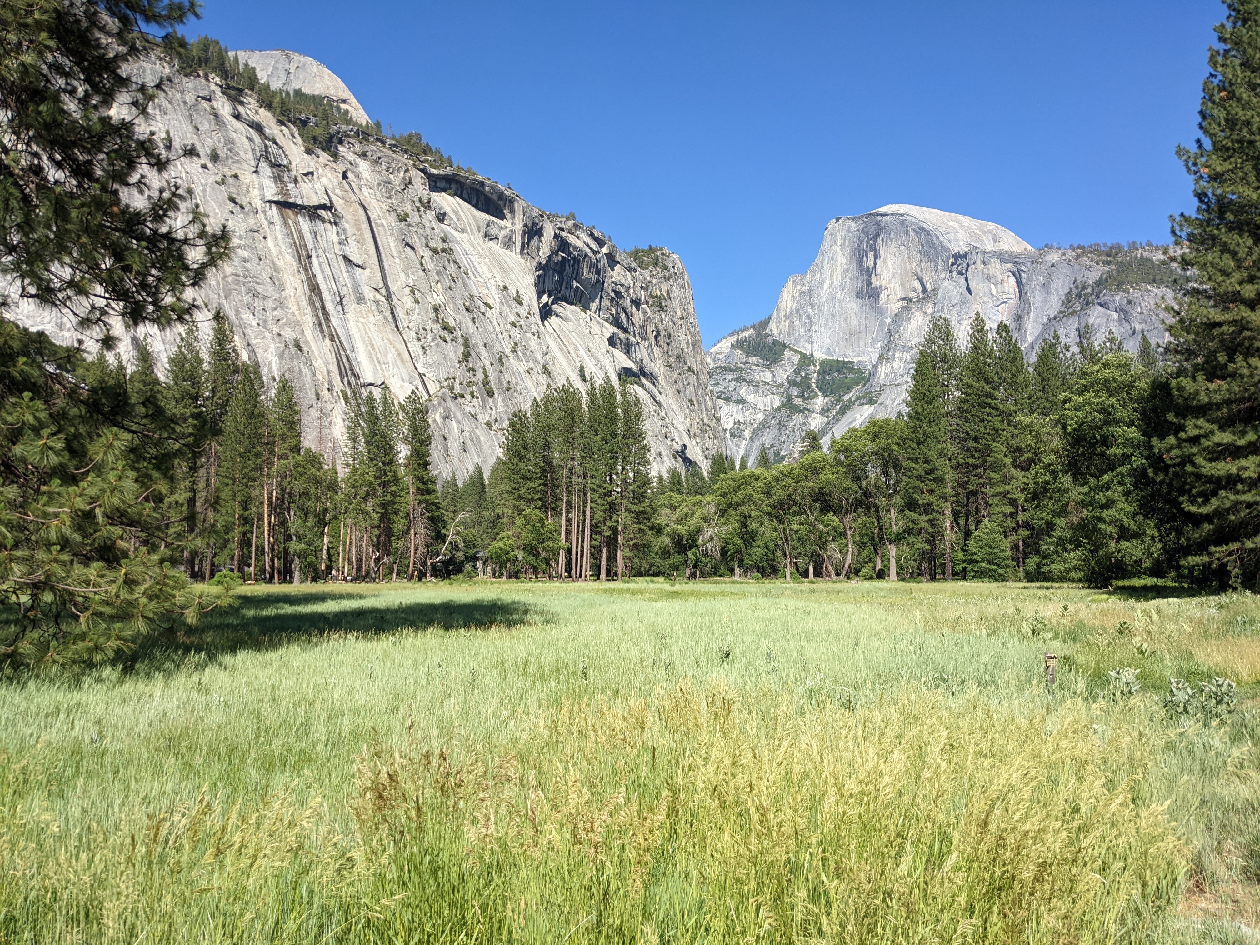
I hiked the couple miles in the Valley and got to Cathedral Beach and the view of El Capitan


Curry Village for pizza and beer. I ate most of it for lunch and then took the last couple slices with me for dinner.

I walked over to the backcountry office to pick up my permit for the next trip. Beautiful weather and beautiful views.

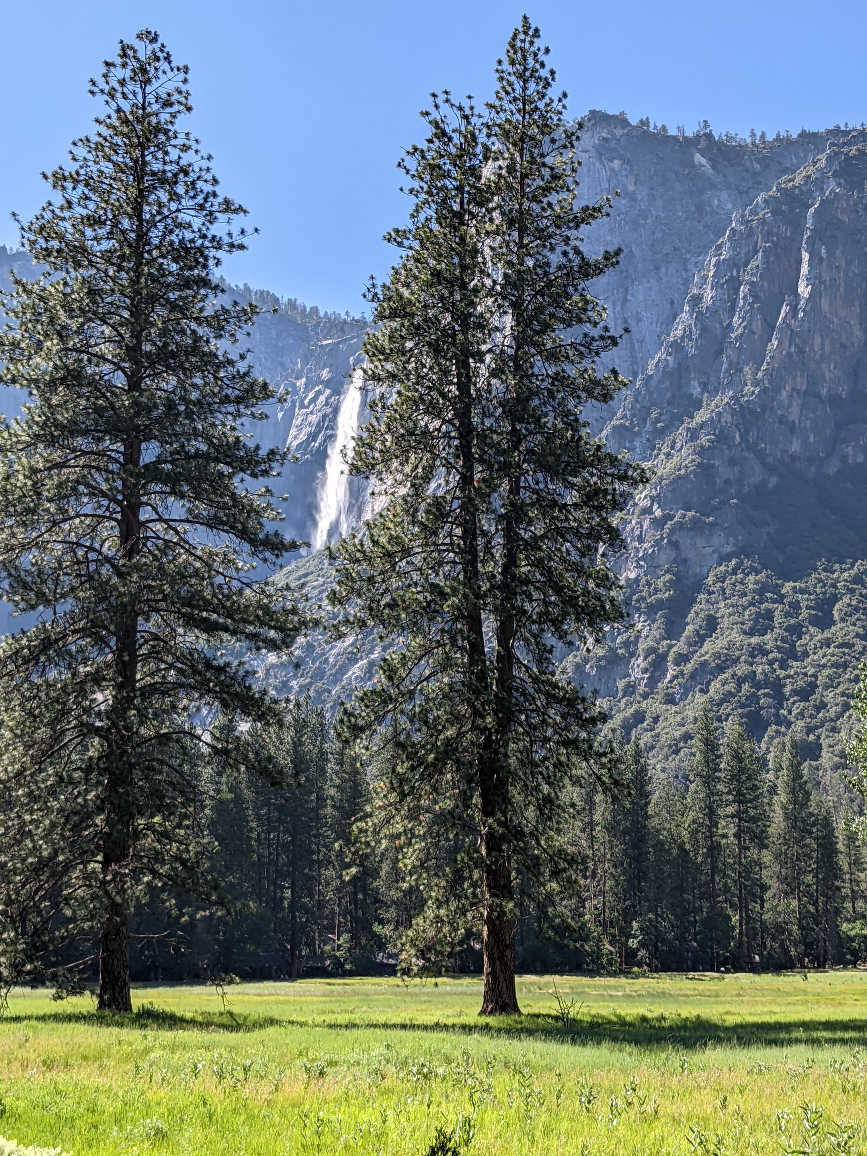


There was a helicopter flying around and eventually I figured out why. There was a fire up Snow Creek. Hopefully not a big one because I was planning on descending Snow Creek in a couple of days.




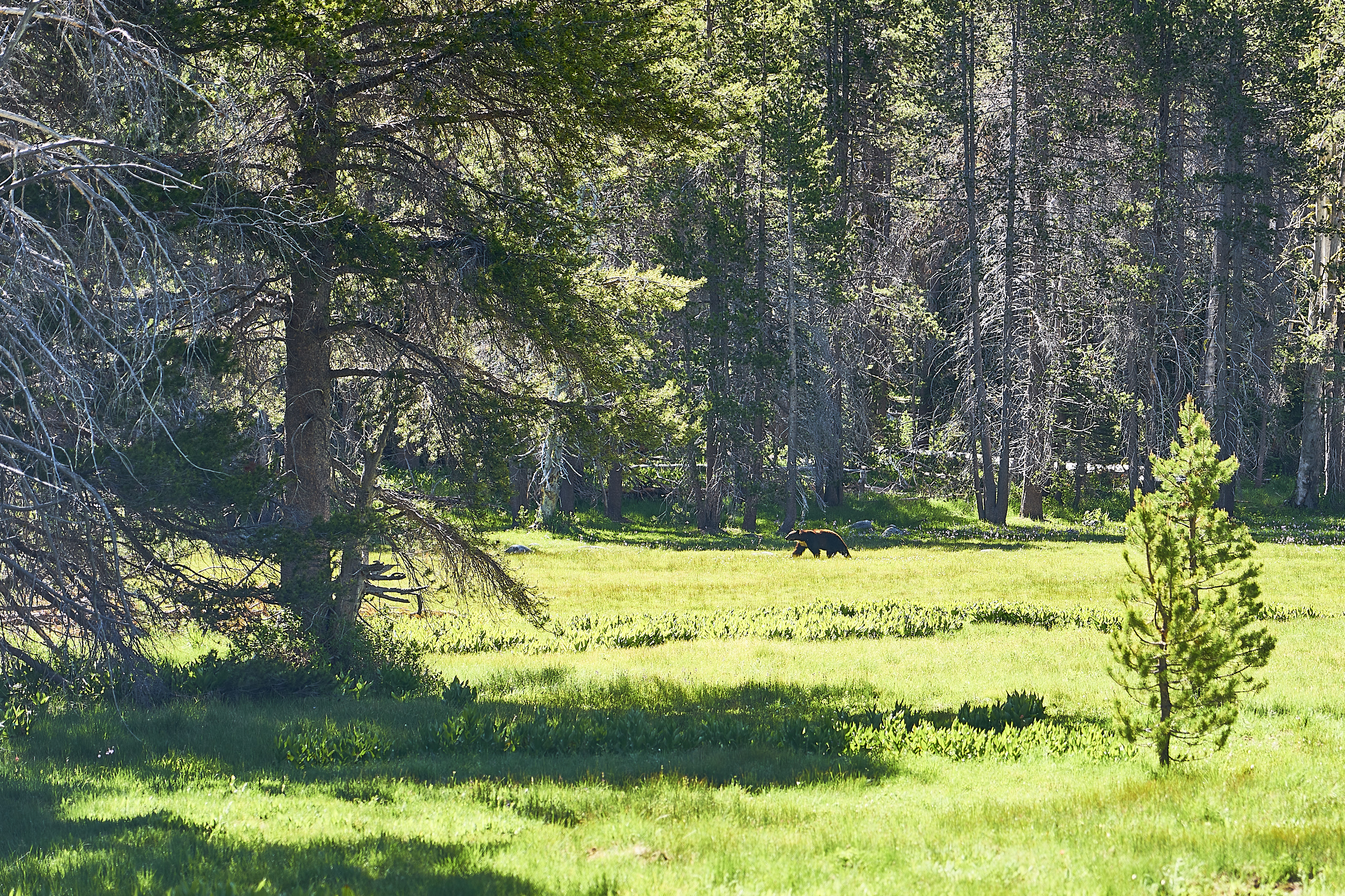
I ran into some people who told me there was a bear about 10 minutes ahead. They said that it had completely ignored them as they hiked by so I was hopeful that it was still in the area. I told them thanks for the warning, noted the time on my watch and hurried down the trail. I turned a corner and right on schedule there was the bear.
He was in the distance but coming towards me. This is zoomed and heavily cropped.
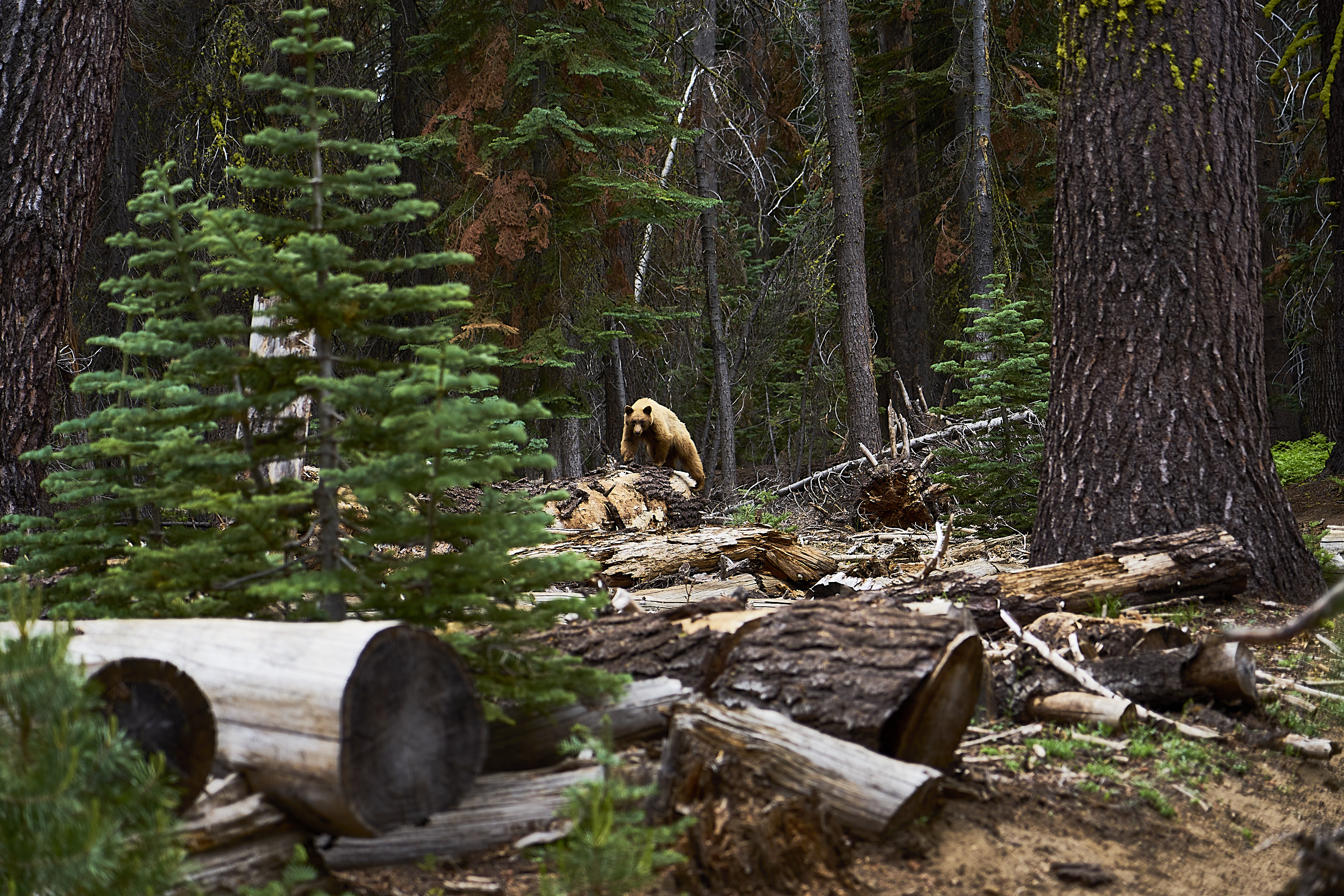


After about 5 minutes, the bear wandered into the woods and I headed down the trail.


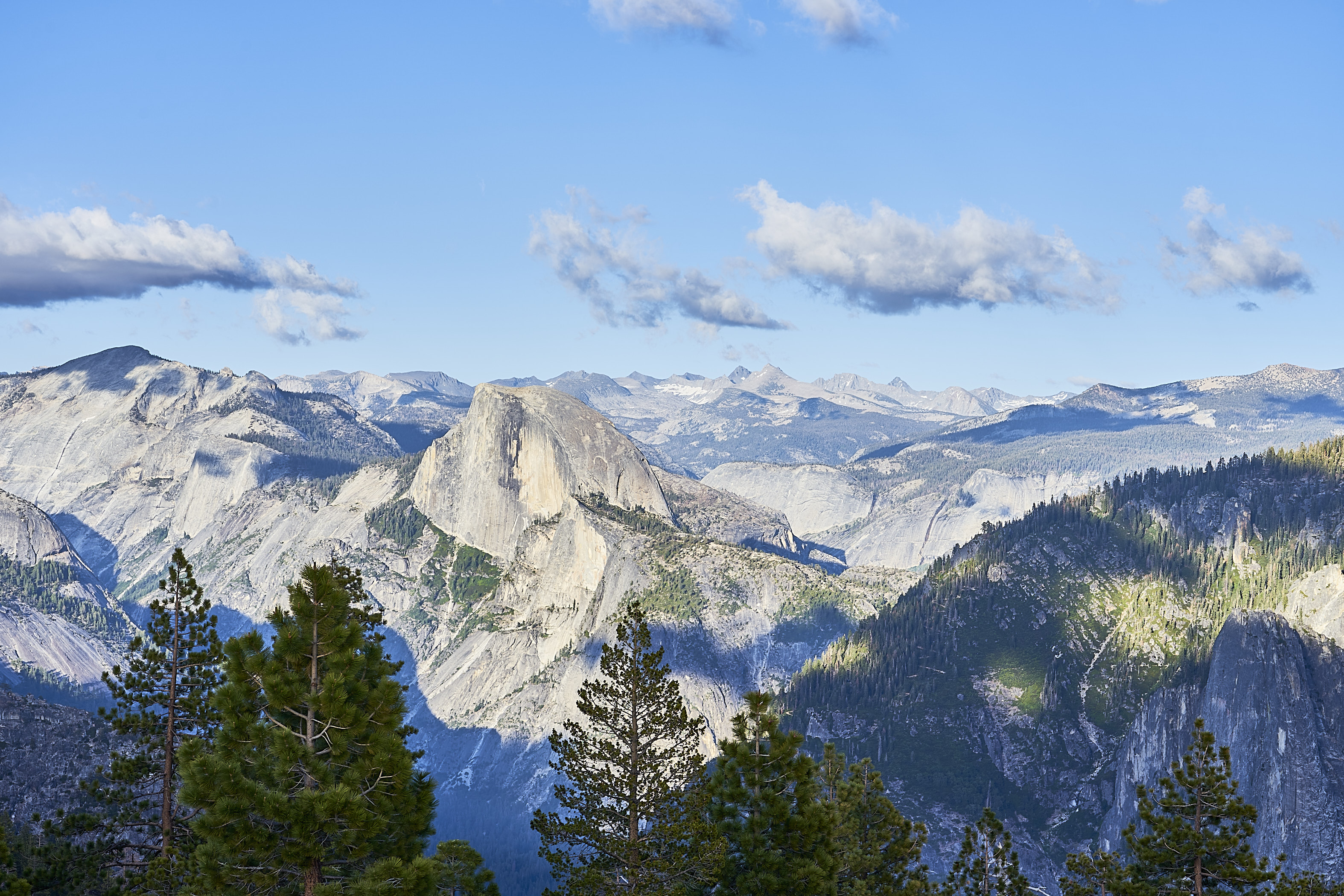
Panorama from the top of El Cap



Scarlet Gilia?

I took a detour to Eagle Point where I ran into the guide I had talked to the night before in the Backpacker's Camp. I talked to him and his group and one of them mentioned that Snow Creek was closed because of the fire. I was able to get a cell signal to confirm that but was hopeful it would be open the next day for me to descend.

Goldenrod again (probably Senecio)

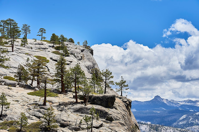
Yosemite Creek above the falls

Looking north up Yosemite Creek


I filtered some water from Arch Creek and then headed to North Dome for the night. Thankfully the wind had died down so it was a very comfortable sunset.

Panorama - From Left to Right - Clouds Rest, Half Dome, Mt Starr King (in background), North Dome (right foreground)


Clouds building over Clouds Rest, but they never got close to me

Helicopter still flying around, I got a signal and saw that the Snow Creek Trail was still closed


Stonecrop family


Mt Starr King


Fingers of God over the Clark Range?

Frosted Wild Buckwheat?


I had a crappy sandwich in the Village with crappy Covid service, but the beer tasted great.


Back the the Backpacker's Camp for one last night. Next morning across the bridge near camp on the way to the Curry Village Lot


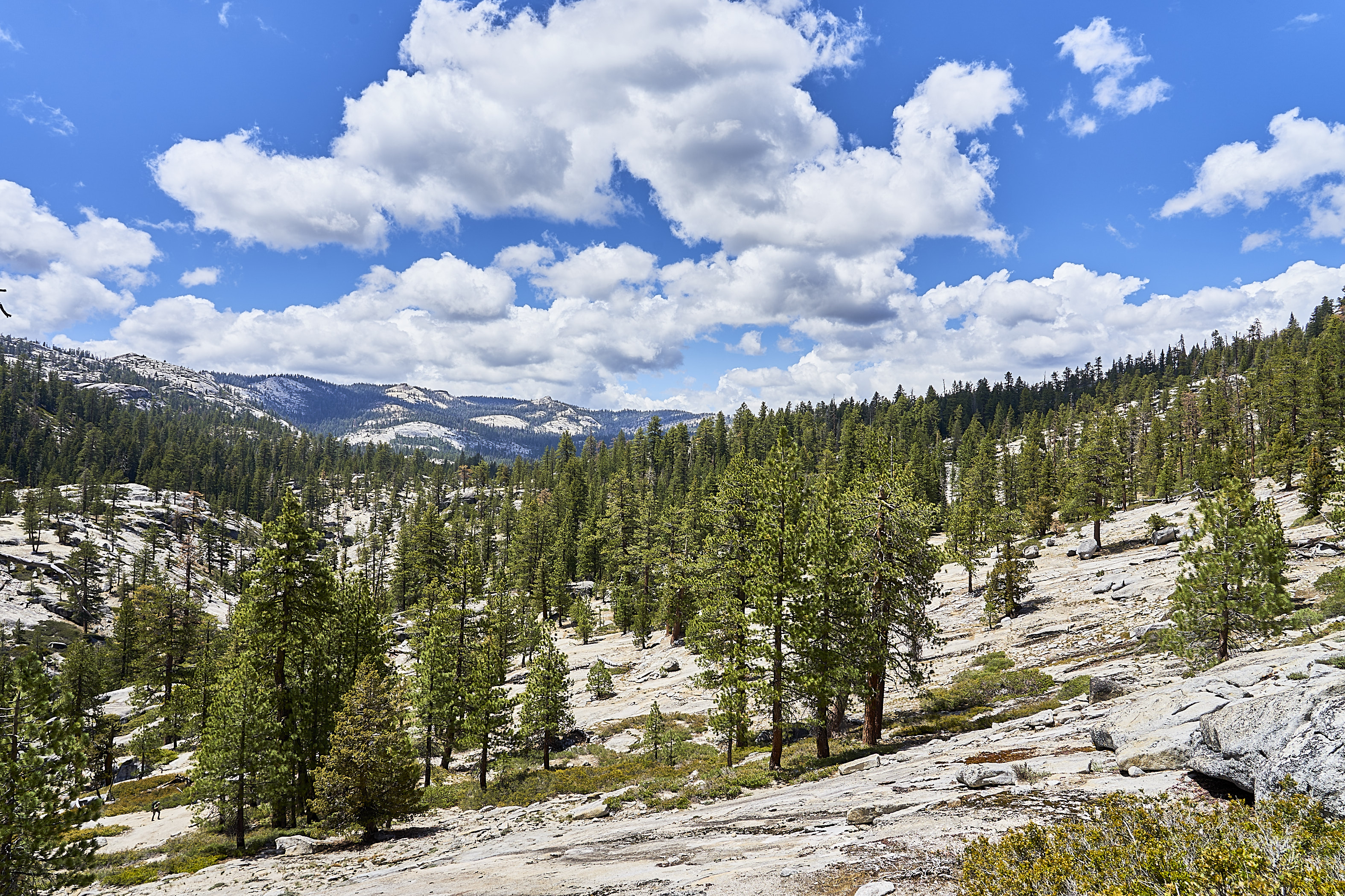


The end of Indian Ridge


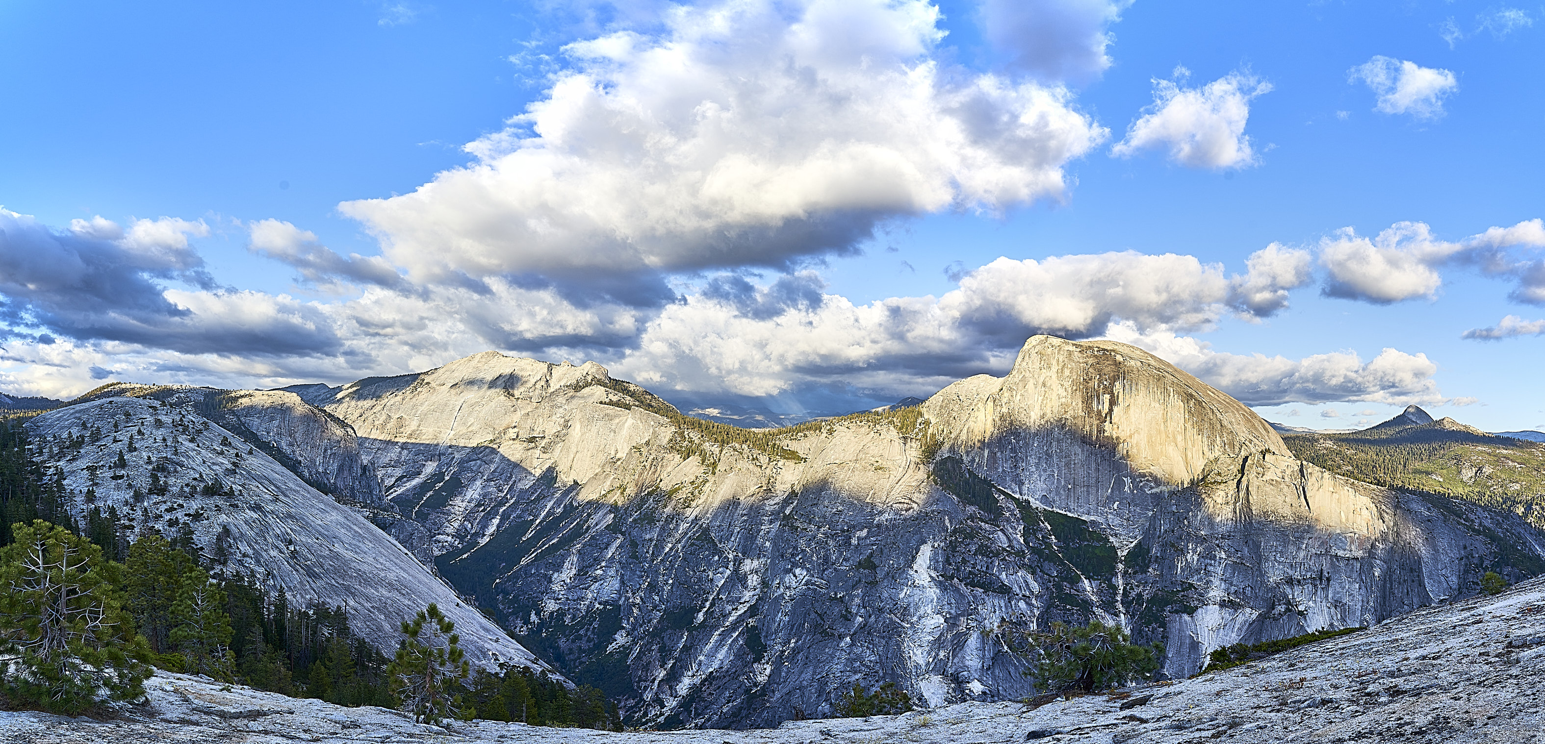


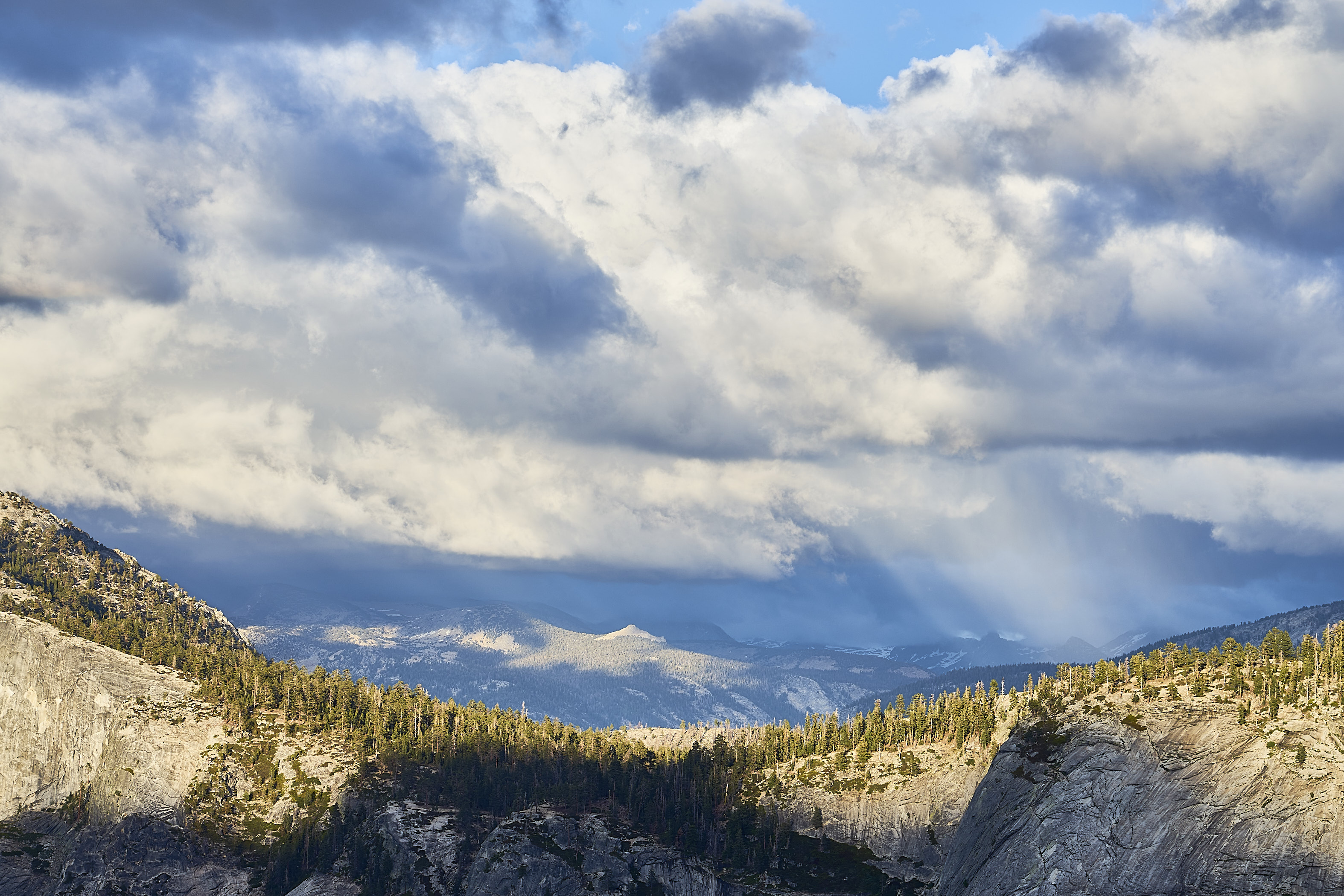

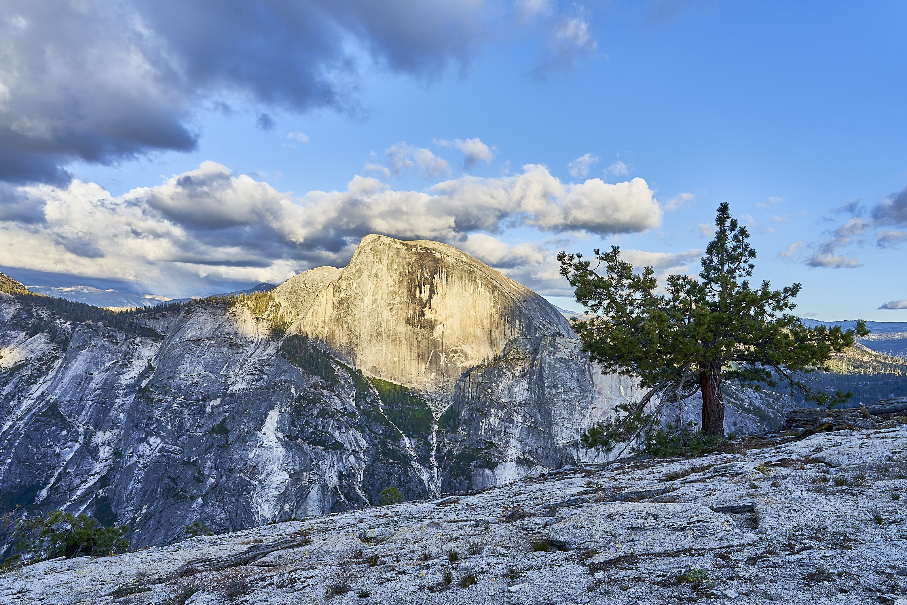


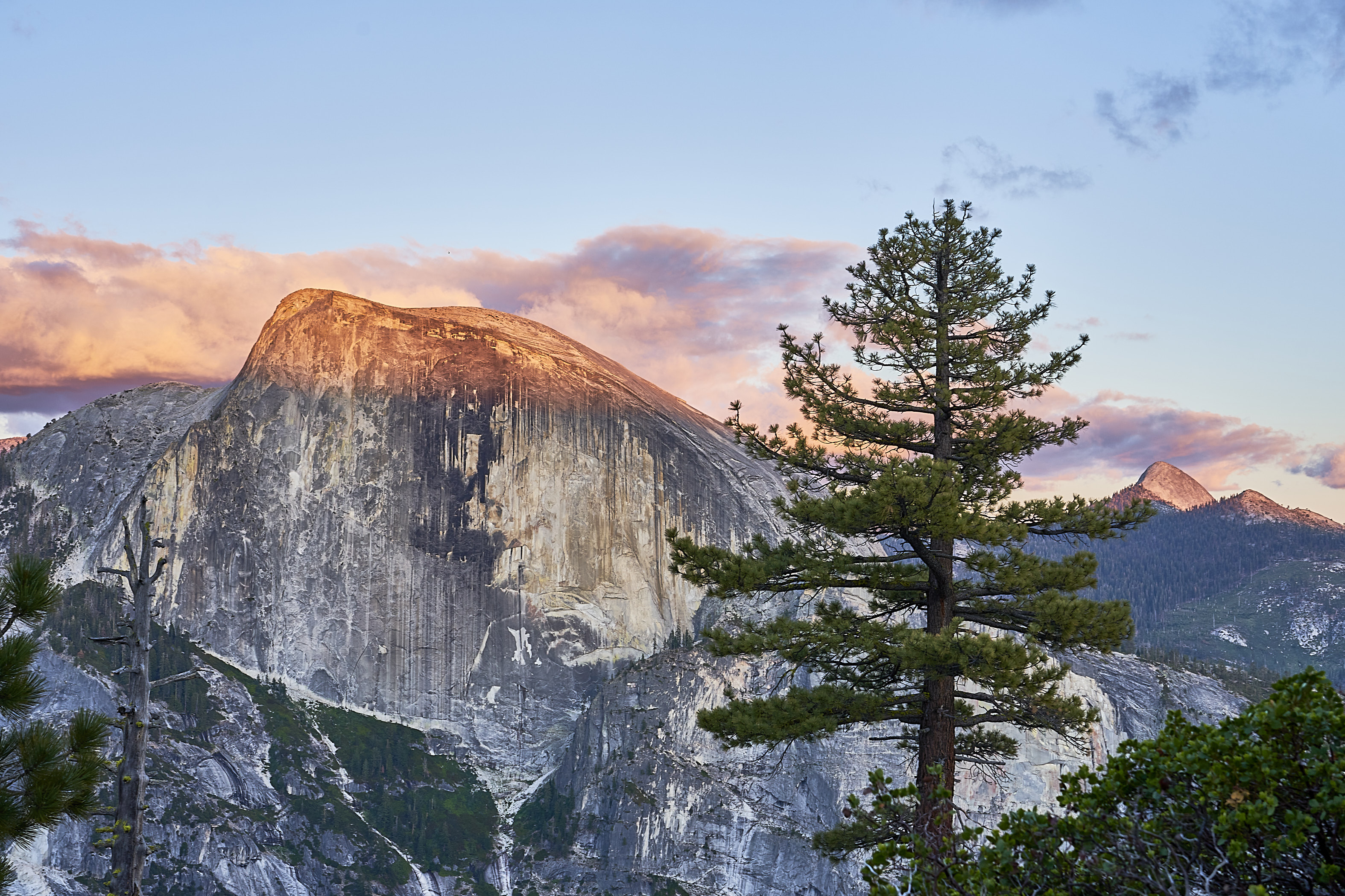

Day 3: Back to the Valley
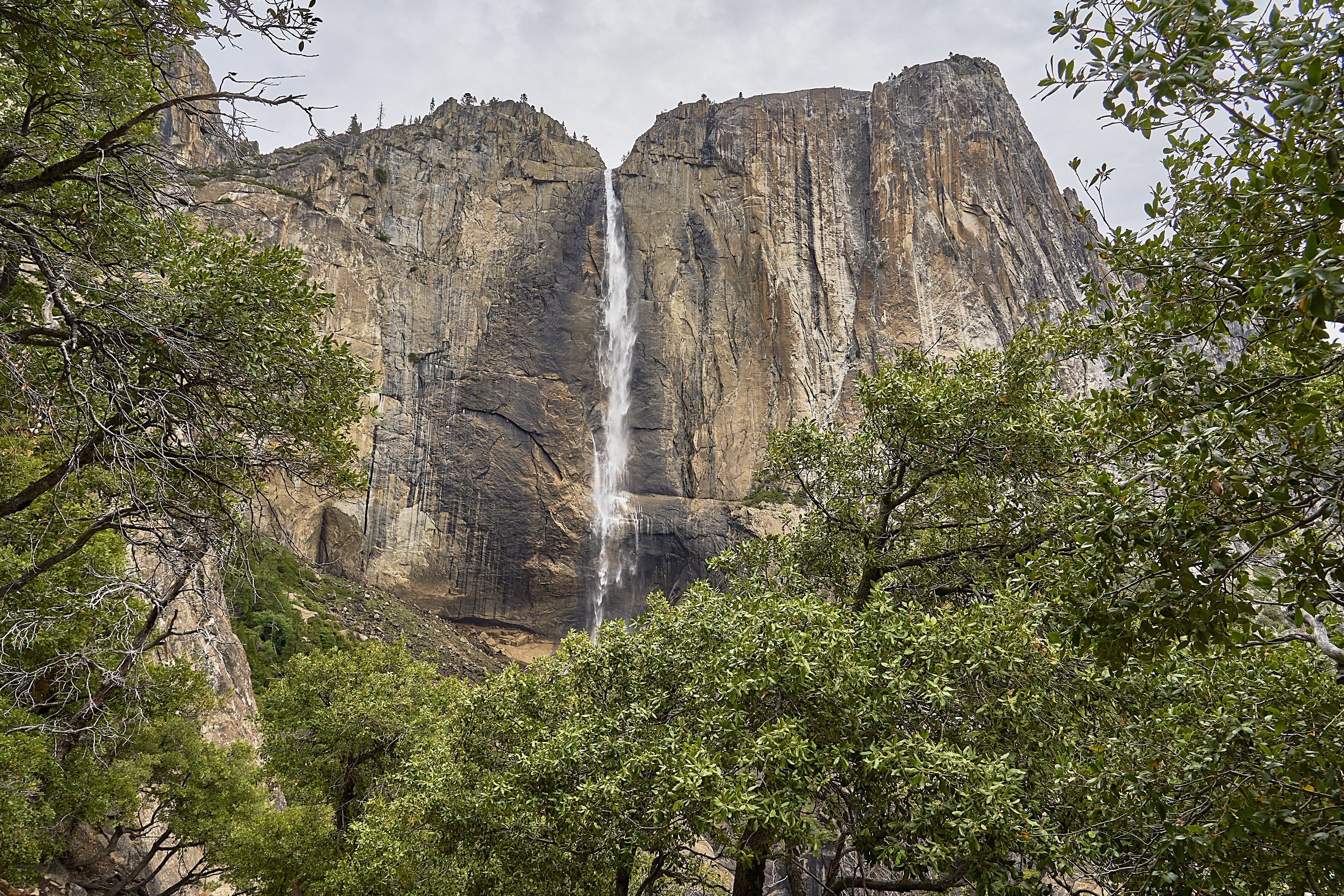
With Snow Creek shut, I headed back to Yosemite Falls. Still a million people. As I descended, I had a couple people ask me "how far to the top?" when they were about a quarter of the way. I told them about the great views at the base of the Upper Falls and suggested that might be a good turnaround point. So many people have no idea what it is like to climb 2500 feet as a dayhike, especially as the day gets hotter. I'm really glad I was not starting my ascent at lunchtime.

Back in the Valley


Goodbye Yosemite, off to Point Reyes for a couple days


